The Struve Geodetic Arc (Pajala)
Lapland
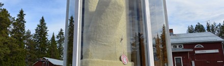
Copyright: DalbyLennart/cc by-sa 4.0/wikimediaThe Struve Geodetic Arc (Pajala)
The Struve Geodetic Arc is a chain of survey triangulation points that stretch from Hammerfest in Norway all the way to the Black Sea. The imaginary lines go through ten countries and over 2,820 kilometres. Carried out between 1816 and 1855 by the astronomer Friedrich Georg Wilhelm Struve, this survey represented the first accurate measuring of a long segment of a meridian, helping establish the exact size and shape of the planet. Sweden has seven measurement points and four of them are on the World Heritage List (on the mountains Tynnyrilaki, Jupukka, Pullinki, and Perävaara). The mountaintop unveils an expansive view.
Useful Information
- Address: Struves meridianbåge, Jupukka
- More Info: whc.unesco.org/en/list/1187
- Address: Qithin Pajala, about 10 km from Pajala cnter along Rv 99.
Do & See
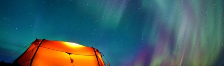
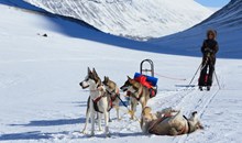
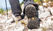
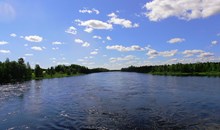
Lapland is Sweden's northernmost region, which provides a steady stream of adventurous pursuits all year round. The main attraction is Lapland's unique and magnificent unspoiled wilderness, which brings in visitors not only from Sweden but from the whole world. If you ever look out over Rapa Valley in Sarek's National Park or visit the World Heritage site of Laponia, you'll instantly know why this corner of the world enjoys a reputation for being exceptionally stunning.
 Copyright: Jens Ottoson/Shutterstock.com
 Copyright: Sander van der Werf/Shutterstock.com
 Copyright: Mestos/CC BY-SA 3.0/Wikimedia
 Copyright: Iin208/cc by-sa 4.0/wikimedia
 Copyright: Alexander Ishchenko/Shutterstock.com
 Copyright: BMJ/Shutterstock.com
 Copyright: BMJ/Shutterstock.com
 Copyright: Allan Johansson/Shutterstock.com
 Copyright: Rido/Shutterstock.com
 Copyright: Patrick Lienin/Shutterstock.com
 Copyright: Lantgård/CC BY-SA 4.0/Wikimedia
 Copyright: Erni/Shutterstock.com
 Copyright: DalbyLennart/cc by-sa 4.0/wikimedia
 Copyright: Silaks/CC BY-SA 4.0/Wikimedia
 Copyright: Silaks/CC BY-SA 4.0/Wikimedia
 Copyright: Iin208/CC BY-SA 4.0/Wikimedia
 Copyright: Mestos/cc by-sa 3.0/wikimedia
